Pilot in Alberta
A first look that shows where to check
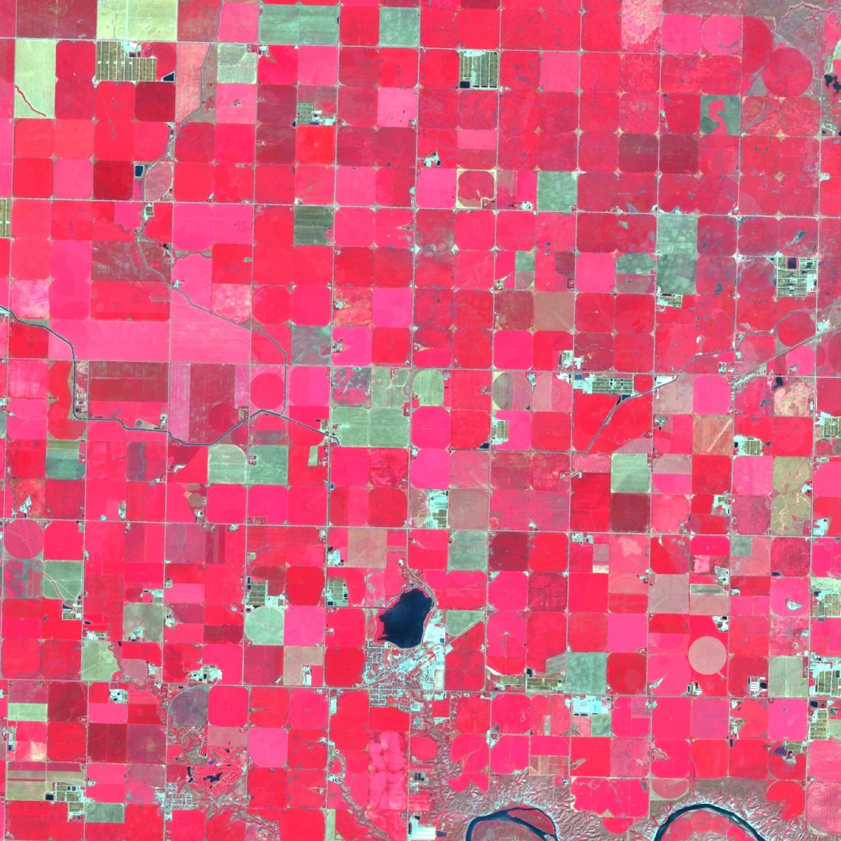
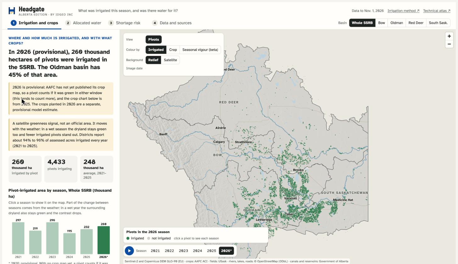
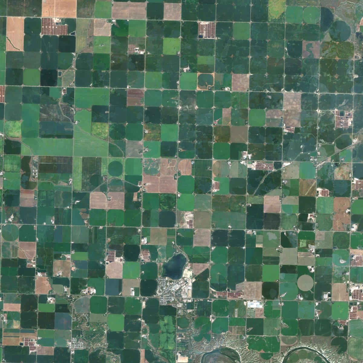
Headgate maps which fields in Alberta's South Saskatchewan Basin were irrigated each season, 2021 to 2026, beside river flow and reservoir storage. It is built for irrigation districts: a screening layer that shows where to check, to sit beside the records you already keep.
9,327centre pivots
115,864fields mapped, dryland included
6seasons, 2021 to 2026
What "irrigated" means
A field is called irrigated when its crop looks and behaves like a watered one beside nearby dryland. Each call has a confidence rating, and we are still checking the ratings. We compare the calls with fields your coordinators know and share the result with you, whatever it is. In wet years it is harder to tell, and some fields stay "undetermined". Our aim is every type of irrigation. Today the annual calls cover centre pivots; gravity, wheel-line and canal-fed fields are not yet separated.
In development
The crop's water use for each field and week, using the Government of Alberta's published method, which we are testing against the province's daily crop water-use data.
Status and limits
As of Nov. 2026, and to our knowledge, no public annual field-level irrigation series exists for Alberta. Ours is a prototype, not yet validated against field truth.